
Great Slave Lake is covered by ice for eight months of the year and is the fifth largest lake in North America. The body of water is part of the Mackenzie River system and reaches more than 600 meters deep in places, a length of 480 kilometers from east to west and up to 110 kilometers wide. The lake takes its name from the Slavey First Nations people who long lived on the coast.
Samuel Hearne discovered the lake in 1771. He was followed by Alexander Mackenzie on his way to the mouth of the Mackenzie River – later named after him, and then by John Franklin. Gold prospectors who came here on their way to the Klondike in 1896-99 reported on the beauty of the region, but no one wanted to come here. It wasn’t until 1930, when pitchblende was discovered on the lakeshore, that people became interested in the area. The discovery of gold in Yellowknife Bay four years later led to a boom in Yellowknife, the main community on the lake, along with Hay River, Fort Resolution, Fort Providence and Behchoko.
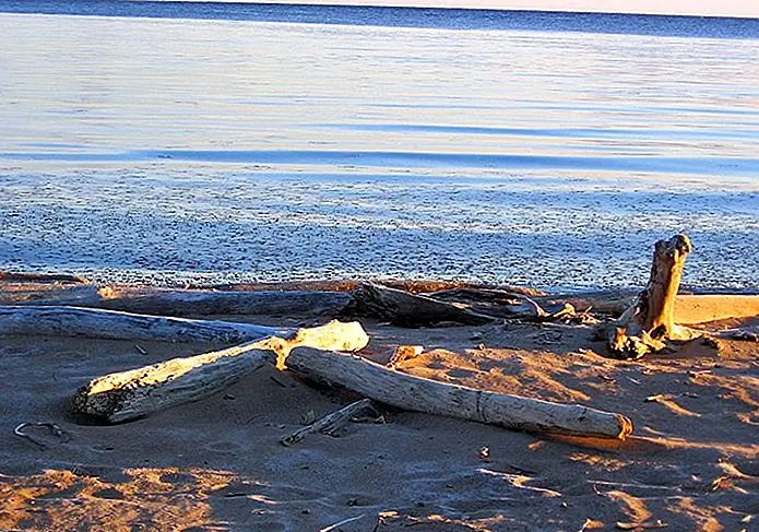
Great Slave Lake is famous among anglers for its excellent trout and pike, with its tributaries known for their abundance of Arctic grayling. Spectacular sailing races are held on the lake, which also has some sandy beaches.
Read also: top class beaches in Maui
Fort Providence
The small town of Fort Providence sits on the Mackenzie River, where it flows into the southwest corner of Great Slave Lake. The city is known for its wide selection of First Nations arts and crafts, handmade anoraks and parkas. Boats can be rented from the gas stations in town. Famous American Arctic explorer Sir John Franklin (1786-1847) chose Fort Providence as the starting point for his explorations of the Barren Grounds in 1819-22. At the western end of the city is a memorial to American explorer Sir Alexander Mackenzie, who stopped at Fort Providence in 1789 in the course of his alleged Pacific trek, which he hoped would take him to the Arctic Ocean.
The Mackenzie Bison Sanctuary is located north of Fort Providence on Highway 3 toward Behchoko. In 1963, the Canadian government transferred nineteen wood buffalo here, a species threatened with extinction. Anyone driving along Highway 3 early in the morning or evening is almost certain to see one or two wood buffalo along the side of the road. However, they usually stay near the shores of the Great Slave Lake.
Fort resolution

Fort Resolution was built by the Hudson’s Bay Company on Moose Deer Island in 1819, and was moved to its current location around 1822. It was an important center, with light freighters carrying goods from Fort McMurray up the Slave River. The trading post is located southwest of the main mouth of the Slav River.
Read also:
The Woods zijn Lovely Dark and Deep- Panna National Park


